01
Scanning with georadar
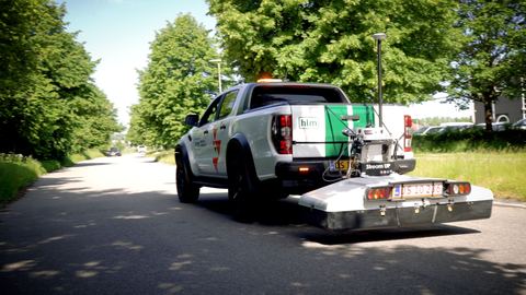
When the position of buried objects is uncertain, georadar - also known as GPR scanning - is an effective method for precise mapping beneath soil, concrete, stone and other surfaces. The technology reduces uncertainty and gives a clear overview, so you avoid unnecessary digging and, at worst, costly damage.
- Sewers and waste water
- Water supply
- Gas
- Cables and voids
- Hidden foundations
- Reinforcement in concrete
- Buried oil tanks