Services
Everything we measure.
Eight services under one roof - in the field, in the air and in data. We deliver the foundation your project rests on, and we're ready early morning and late evening.
One team for the whole data chain
From the first control point to the finished as-built, we gather surveying, scanning, georadar, machine control and documentation in one team. Fewer links, fewer errors - and data you can confidently build decisions on. Where the job reaches into boundaries, equipment or round-the-clock monitoring, our sister companies in HLM Group take over.
01 — Surveying
Land surveying & setting-out
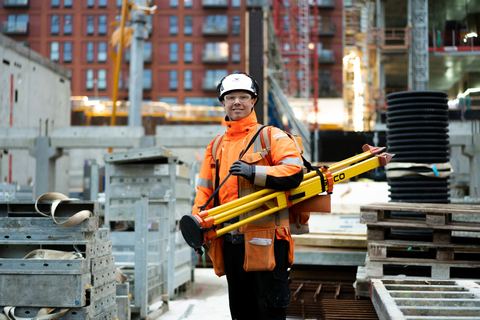
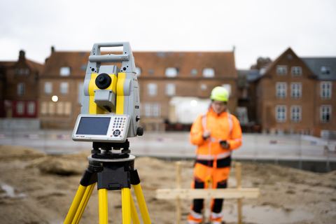
We set out and survey with total station and GNSS - precise, documented and ready to build from. From the first control network to the ongoing setting-out of walls, columns, penetrations and installations, we keep the build on track, day by day - and with rail surveying and precision levelling we also cover the railway and the tasks where height data must be right to the millimetre. See projects on motorways, railways and high-rise.
02 — Machine control
Machine control
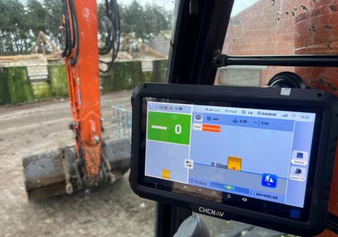
We turn the project's 3D model into machine-control files that dozers and excavators can work from - and load them straight into the machine, including via secure remote access. The result is fewer mis-digs, less waste and a smaller climate footprint on site and a contractor who gets it right first time. Looking for the machine-control hardware itself - sales, service or rental - our sister company Maxpartner will help you onward.
On to Maxpartner (opens in a new window)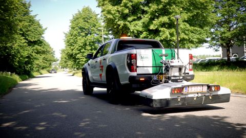
03 — Georadar
Georadar & utility detection
With georadar (GPR) we locate and map pipes, cables, foundations and other objects underground - without digging. With advanced georadar equipment we map the subsurface across large areas and smaller, confined sites alike. That gives you an overview of hidden installations and underground structures, so you can plan the work on a better-informed basis and reduce the risk of surprises during excavation.
04 — 3D scanning
3D laser scanning
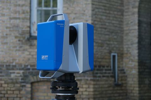
With our static laser scanner we capture buildings, terrain and civil works as dense point clouds with millimetre precision. When it needs to go faster, we scan on the move with SLAM, which suits some jobs better but is not millimetre-accurate. We turn the point cloud into BIM models at exactly the level of detail (LOD) your project requires - and with industrial scanning and dimensional control we also scan production facilities in operation, so alterations and extensions are designed without costly downtime.
05 — CAD & data
CAD, data & documentation
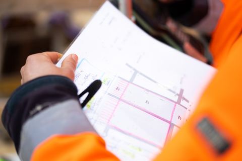
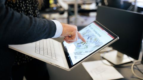
Our CAD department transforms raw survey data into drawings, terrain models, volume calculations and as-built documentation - backed by control surveys documenting that the finished work stands as designed. We deliver data in exactly the format your systems speak: DANDAS and DanVand for utilities, DSFL, DWG/DXF, LandXML, GML and tailored exports. The final documentation goes the distance - also when it comes to settlement, warranty or proof in a dispute. The documentation is assembled by our CAD consultants and surveying technicians.
06 — Monitoring
Monitoring & surveillance
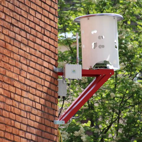
When a build or structure needs to be followed over time, we deliver monitoring together with our sister company SMT Nordic - the Nordic leader in monitoring of structures, climate and infrastructure. Sensors and automated measurements track movements, settlements and deformations in real time, watched from a control centre around the clock, all year. We help you all the way onward.
On to SMT Nordic (opens in a new window)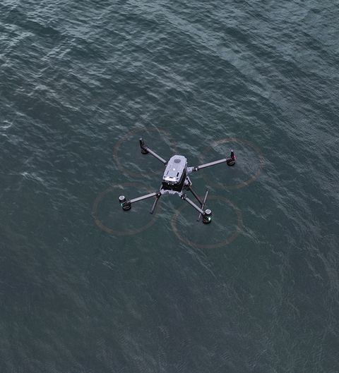
07 — Drone surveying
Drone surveying
With certified drone pilots and a DJI Mavic 3E with an RTK module we map large areas quickly and safely. We deliver orthophotos, terrain and surface models and volume calculations - and where the airspace allows, we use LiDAR to penetrate vegetation where photogrammetry falls short.
08 — Chartered surveyor
Chartered surveyor services
When the task calls for a chartered surveyor - boundary determination, subdivision, area transfer, condominium division, easements, land registration or expropriation - we deliver it together with our sister company De Fakto, consulting chartered surveyors. That way the technical and legal sides stay connected, and you still have just one place to go. We help you all the way onward - read about the companies in HLM Group.
On to De Fakto (opens in a new window)What do customers ask about?
What can georadar find underground?
GPR scanning maps what sits beneath soil, concrete, stone and other surfaces. We find sewers and waste water, water supply, gas, cables and voids, hidden foundations, reinforcement in concrete and buried oil tanks - and deliver the result with precise coordinates you can carry on working from.
Can you find utilities that are missing from LER?
Yes. It is one of the most valuable things georadar does: we find utilities and other buried objects that are not correctly registered in LER, and we can check and confirm the positions LER does list. That measurably reduces the risk of strike damage.
How quickly can you scan large areas?
For large scanning projects such as roads, streets and farmland we use vehicle-mounted georadar, which covers both on-road and off-road ground. The suggested survey speed is 50 km/h and transport mode up to 120 km/h, so it can work in urban traffic without slowing it down.
Do the machines have to stop when data is updated?
No. We transfer machine control files into the machines' control systems by remote access, without being physically on site. Adjustments can therefore be made immediately, and the machines are not left waiting for a file to be driven out to them.
How do you monitor settlement and deformation?
Monitoring is delivered together with our colleagues at SMT Nordic - continuously and automatically on buildings, terrain, railway track, bridges, quays and secant piles. You get 24-hour monitoring and direct access to all data, measured with inclinometers, extensometers, tiltmeters, load cells, strain gauges, groundwater sensors, liquid levelling and crack meters.
Do you deliver as-built documentation?
Yes. We have deep experience producing as-built documentation, setting-out data and machine control data, and we turn the collected coordinates into digital models that the following project stages can build on. We also handle control point networks, static measurement and monitoring.
Contact
How can we help?
Got a question or a task in mind? Call or write - we'll get back to you within one working day.
+45 32 12 51 15 or fill out the form