01
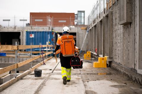
Early on site
The first team
When it has to be right, we are the ones who move first. A solid foundation from the start can save costly surprises later in the build.
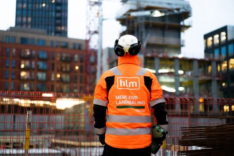
HLM Landmåling · We set the mark
We deliver valid data, so you can make the right decisions.
From the first survey to finished documentation.
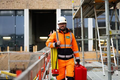
On site early in the morning and late in the evening.
A build is only as good as the foundation it rests on. We survey in the field, from the air and in 3D - and deliver a data foundation you can rely on, every time.
That means fewer errors, a smoother process and decisions made on facts rather than gut feeling. We are the first team you bring in when it has to be right.
See what we measure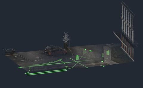
01
Early on site
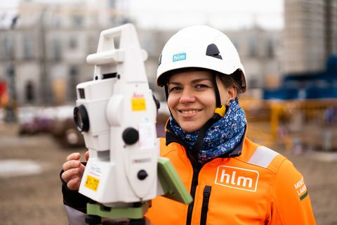
When it has to be right, we are the ones who move first. A solid foundation from the start can save costly surprises later in the build.
02
All day, in the field
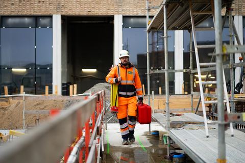
Top-class equipment and people who know it inside out. You get data you can build decisions on - not an educated guess.
03
Late - until it's right
We're ready on site early morning and late evening. When the build runs, we run with it - so you never wait on a measurement.
Eight services under one roof. Pick one to see how we solve the task - in the field, in the air and in data.
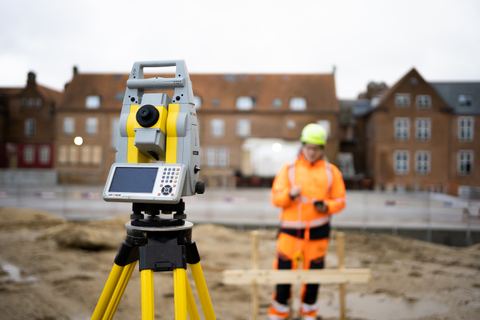
Setting-out and surveying for civil works and construction - from the position of the foundation to marking walls, columns, doors and pipes. Fast response, so the build never stalls.
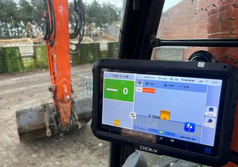
We prepare setting-out data and machine-control files - and load them, including via secure remote access - so the machines hit the mark first time.
On to Maxpartner (opens in a new window)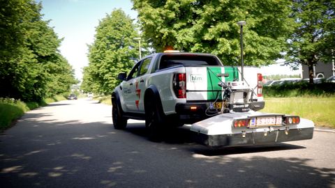
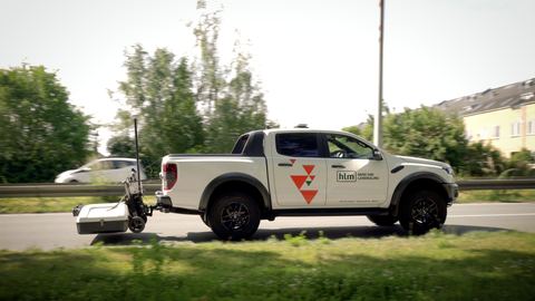
GPR scanning locates pipes, cables and objects underground - without digging, across large areas and confined sites alike.
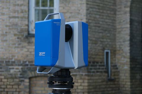
Millimetre-accurate point clouds with our static Z+F Imager 5016 - and fast SLAM scanning with the CHCNAV RS10 when speed counts. Buildings, terrain, civil works.
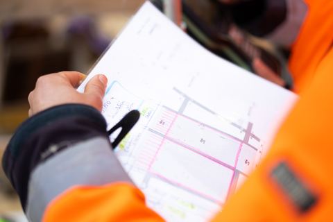
We turn data into drawings, volume calculations and as-built - and deliver complete final documentation that holds up in disputes and under warranty.
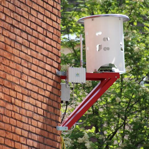
Continuous monitoring of movements, settlements and deformations on structures, buildings and infrastructure - so deviations are caught before they become damage.
On to SMT Nordic (opens in a new window)
We map large areas from the air with photogrammetry and an RTK drone and generate precise 3D models in Pix4D - supplemented by LiDAR where the airspace allows.
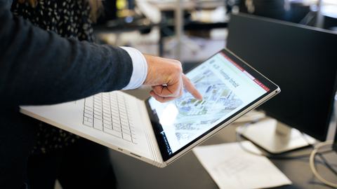
Boundaries, subdivision, condominiums, easements and land registration - we deliver the cadastral and legal services together with our sister company De Fakto.
On to De Fakto (opens in a new window)A selection of the projects we've delivered data and setting-out for - in the field, in the air and in 3D. See all 39 projects from motorways to life science.
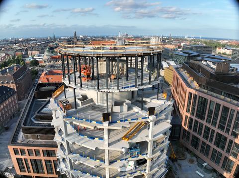
We deliver the foundation for Denmark's largest - contractors, consultants and public clients.
Aarsleff Züblin Munck MT Højgaard MJ Eriksson Arkil Vejdirektoratet Banedanmark
Across the country
From Copenhagen to Aalborg we're ready wherever there's surveying, building and documenting.
160+
Employees across HLM Group
7
Locations from Aalborg to Copenhagen
4
Sister companies in HLM Group
20+
Years of experience with construction data
We are specialists in land surveying - from control points, measurement and setting-out to machine control, georadar, 3D scanning, drones, CAD documentation and monitoring. We work for contractors, consultants, utilities, industry and the public sector, delivering the foundation construction and civil works are calculated on.
We have seven offices: Albertslund as head office, plus Hillerød, Aarhus, Herning, Aalborg, Vejle and Odense. Our surveyors drive out from whichever office is closest to your site, and we take on work anywhere in Denmark.
HLM Landmåling is part of HLM Group alongside De Fakto Rådgivende Landinspektører, SMT Nordic and Maxpartner. That means surveying, cadastral consultancy, monitoring, and the sale and servicing of survey equipment can be combined into one team to suit the job.
Establishing a boundary is cadastral work that requires a chartered surveyor, so we handle it together with De Fakto Rådgivende Landinspektører in HLM Group. We also produce a site plan showing the boundary alongside buildings and other relevant features.
The price depends on the scope of the work, the equipment and how many days of surveying it takes. Our terms of sale and delivery are published, and you are welcome to call +45 32 12 51 15 to talk the job through.
We survey with the best equipment on the market and people who know it inside out: total stations and GNSS for setting-out, the Z+F Imager 5016 for static laser scanning with millimetre precision, the CHCNAV RS10 for fast SLAM scanning, georadar below ground, a DJI Mavic 3E with RTK for photogrammetry from the air, and Pix4D for the models.
Contact
Got a question or a task in mind? Call or write - we'll get back to you within one working day.
+45 32 12 51 15 or fill out the form
Highest credit rating from Dun & Bradstreet - only about 2 % of Danish companies achieve AAA.