
01
Mapping and modelling with Pix4D
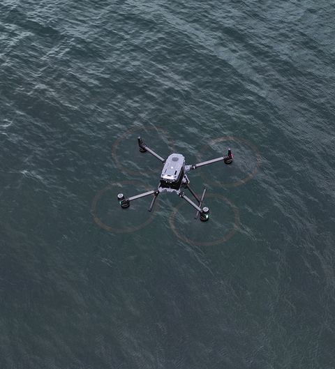
Most drone jobs we solve with photogrammetry: a DJI Mavic 3E with an RTK module photographs the area, and in Pix4D we generate accurate, detailed maps and models from the collected data - for 3D modelling, volume calculation, inspection, planning and control.