01
Professional
Knowledgeable and relevant. We know construction and speak the same language as those who build - never fluffy, always concrete.
About HLM
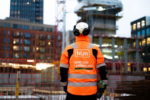
We are the precision supplier major builds rely on - a Danish surveying and construction-data company that delivers valid data from the first survey to finished documentation.
A build is only as good as the foundation it rests on. We survey in the field, from the air and in 3D - and turn it into a data foundation you can rely on. We set the mark means we don't just measure: we show up, deliver the knowledge decisions can be made on, and stay on site until it's right.
01
Knowledgeable and relevant. We know construction and speak the same language as those who build - never fluffy, always concrete.
02
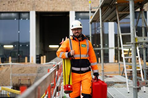
Easy to talk to. We're a partner on site, not a supplier at a distance. We explain things so everyone's on board.
03
We take precision deadly seriously and ourselves a little less so. That makes us someone you want to work with.
From surveying and scanning to georadar, machine control, documentation, monitoring and chartered surveyor services - gathered in one team.
Setting-out and surveying for civil works and construction - from the position of the foundation to marking walls, columns, doors and pipes. Fast response, so the build never stalls.
Read more - SurveyingWe prepare setting-out data and machine-control files - and load them, including via secure remote access - so the machines hit the mark first time.
Read more - Machine controlGPR scanning locates pipes, cables and objects underground - without digging, across large areas and confined sites alike.
Read more - GeoradarMillimetre-accurate point clouds with our static Z+F Imager 5016 - and fast SLAM scanning with the CHCNAV RS10 when speed counts. Buildings, terrain, civil works.
Read more - 3D scanningWe turn data into drawings, volume calculations and as-built - and deliver complete final documentation that holds up in disputes and under warranty.
Read more - CAD & dataContinuous monitoring of movements, settlements and deformations on structures, buildings and infrastructure - so deviations are caught before they become damage.
Read more - MonitoringWe map large areas from the air with photogrammetry and an RTK drone and generate precise 3D models in Pix4D - supplemented by LiDAR where the airspace allows.
Read more - Drone surveyingBoundaries, subdivision, condominiums, easements and land registration - we deliver the cadastral and legal services together with our sister company De Fakto.
Read more - Chartered surveyor160+
Employees across HLM Group
7
Locations from Aalborg to Copenhagen
4
Sister companies in HLM Group
20+
Years of experience with construction data
Contact
Got a question or a task in mind? Call or write - we'll get back to you within one working day.
+45 32 12 51 15 or fill out the form